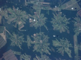
NASA remote sensing data is used to measure how much land is used for agriculture and where farms are in relation to population density. This episode explore the transition between native vegetation, farms, and cities. Satellites show where land use changes have been most significant.For complete transcript, click here.